
Florida Flood Zones Explained: A Homebuyer's Guide to Jacksonville Real Estate
Florida has three main flood zone categories—High-Risk Special Flood Hazard Areas (Zones A, AE, AH, AO, VE), Moderate-to-Low Risk Areas (Zones X, Shaded X, X500), and Undetermined Risk Areas (Zone D). In Jacksonville, properties in high-risk zones (A and AE) require mandatory flood insurance if financed with a federally backed mortgage, while moderate-risk Zone X properties carry optional but recommended coverage.
Navigating the real estate market in Jacksonville, Florida, requires a clear understanding of coastal geography and water systems. As the largest city by land area in the contiguous United States, Jacksonville features an intricate web of waterways, including the St. Johns River, the Intracoastal Waterway, Trout River, and miles of Atlantic coastline.
Whether you are purchasing a historic home in Riverside, a coastal retreat in Jacksonville Beach, or a suburban single-family property in Mandarin, understanding flood risk is essential. This guide breaks down FEMA flood zone classifications, mandatory insurance guidelines, local Jacksonville flood mapping, and practical steps to protect your real estate investment.
What Are Flood Zones and Why Do They Matter in Jacksonville Real Estate?
Flood zones are geographic designations defined by the Federal Emergency Management Agency (FEMA) based on varying levels of flood risk. These zones are depicted on Flood Insurance Rate Maps (FIRMs) and reflect a property's susceptibility to inundation during heavy rainfall, storm surges, or riverine overflows.
In Jacksonville and Duval County, flood zone designations directly impact four critical aspects of property ownership:
-
Mandatory Insurance Requirements: Mortgage lenders mandate flood insurance for properties located within high-risk Special Flood Hazard Areas (SFHAs).
-
Annual Carrying Costs: Insurance premiums can range from a few hundred dollars to several thousand dollars annually depending on the exact zone and elevation.
-
Building & Renovation Codes: High-risk zones dictate specific construction standards, minimum elevation thresholds, and strict rules regarding substantial improvements.
-
Resale Value & Marketability: Buyers increasingly factor flood risk and ongoing insurance overhead into property valuation and offer strategies.
📌 Key Local Insight: The St. Johns River Factor
Unlike most rivers in North America, the St. Johns River flows north. During major Atlantic storms or prolonged rain events, wind and high tide can block the river's discharge into the ocean, pushing water back into low-lying Jacksonville neighborhoods even miles inland.
Breakdown of Major Florida Flood Zones in Jacksonville
FEMA categorizes flood zones into specific letters. Below is a detailed breakdown of the primary flood zone classifications you will encounter when reviewing real estate listings in Northeast Florida.
1. Zone X (Unshaded) / Zone C — Low-Risk Zone
Zone X (unshaded) represents areas determined to be outside the 500-year flood plain with less than a 0.2% annual chance of flooding. Lenders do not mandate flood insurance in Zone X.
-
Risk Level: Minimal / Low Risk.
-
Insurance Requirement: Optional (not federally required).
-
Common Local Areas: Higher elevation inland neighborhoods such as parts of Westside, Southside, and Julington Creek.
-
Buyer Note: Over 20% of National Flood Insurance Program (NFIP) claims originate outside high-risk zones. Preferred Risk Policies (PRP) offer lower-cost coverage for Zone X homeowners.
2. Zone X (Shaded) / Zone X500 — Moderate-Risk Zone
Shaded Zone X designates areas with a moderate risk of flooding—between a 1% and 0.2% annual chance (commonly referred to as the 500-year flood plain). It also includes areas protected by levees.
-
Risk Level: Moderate Risk.
-
Insurance Requirement: Optional, though strongly recommended by insurance advisors.
-
Common Local Areas: Transitional zones near creeks, drainage basins, or adjacent to low-lying coastal plains in Arlington and Mandarin.
-
Buyer Note: Severe storm events like Hurricane Irma (2017) demonstrated that moderate-risk zones in Jacksonville can experience localized flooding during extreme rainfall.
3. Zone AE & Zone A — High-Risk Special Flood Hazard Areas (SFHA)
Zone A and Zone AE are high-risk areas subject to inundation by the 1% annual chance flood event (the 100-year flood). Over a 30-year mortgage, a property in Zone AE has at least a 26% probability of experiencing a flood event.
-
Zone A vs. Zone AE: Zone AE includes detailed Base Flood Elevations (BFEs) derived from hydraulic analyses, whereas Zone A lacks specified BFEs on older maps.
-
Risk Level: High Risk (Special Flood Hazard Area).
-
Insurance Requirement: Mandatory for all federally backed or regulated mortgages (FHA, VA, Conventional).
-
Common Local Areas: Waterfront properties along the St. Johns River, Ortega, San Marco, Trout River, and low-lying marshlands near Intracoastal West.
4. Zone VE & Zone V — Coastal High-Hazard Areas
Zone VE encompasses coastal regions facing additional hazards from storm-induced velocity wave action (waves exceeding 3 feet). These represent the highest hazard designation in coastal Florida.
-
Risk Level: Extreme Coastal Risk (Velocity Hazard).
-
Insurance Requirement: Mandatory for mortgaged properties, with significantly higher premium structures.
-
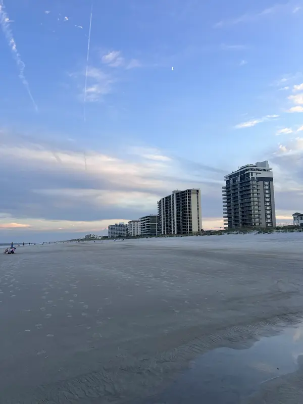
Common Local Areas: Direct oceanfront properties in Jacksonville Beach, Neptune Beach, Atlantic Beach, and exposed barrier islands.
-
Building Standards: Requires pilings, elevated living space, and open breakaway construction below the lowest habitated floor.
How to Check a Jacksonville Property's Flood Zone
Before making an offer on a home in Duval County, follow these verification steps to determine the exact flood status:
-
Access the City of Jacksonville GIS & Flood Map Portal: Visit the official Duval County Flood Zone Lookup Tool or the FEMA Flood Map Service Center. Enter the property's complete physical address to view the active FIRM panel.
-
Review the Official FEMA Flood Map: Check whether the structure sits entirely within Zone X, or if a portion of the parcel or building envelope touches Zone AE or A.
-
Contact the Jacksonville Office of Risk Management: City staff can provide flood zone determinations, historical flood data for surrounding streets, and localized drainage reports.
-
Request an Elevation Certificate (EC): Obtain an EC from the seller or hire a licensed Florida surveyor. An Elevation Certificate details the height of the lowest finished floor relative to the Base Flood Elevation
⚠️ Crucial Elevation Rule: In Zone AE, if your structure's lowest elevation is above the Base Flood Elevation, your annual insurance premium drops significantly compared to structures built below
What to Do if Your Dream Home Is in a High-Risk Flood Zone
Discovering a home is located in Zone AE or Zone A does not mean you should abandon the transaction. Millions of Florida homeowners safely own property in high-risk zones by taking proper precautions:
-
Obtain Multiple Flood Insurance Quotes Early: Request quotes from both the National Flood Insurance Program (NFIP) and private flood insurance providers during your inspection contingency period.
-
Evaluate Flood Mitigation Features: Check if the home has engineered flood vents, elevated HVAC equipment, electrical panel elevations, or flood barrier installations.
-
Factor Insurance Premium into Debt-to-Income (DTI) Ratios: Lenders incorporate flood insurance premiums into total monthly housing costs. Ensure the added expense fits your budget.
-
Review Renovation Constraints (The 50% Rule): FEMA rules stipulate that if repair/renovation costs equal or exceed 50% of the structure's market value, the entire building must be brought into compliance with current flood elevation standards.
Frequently Asked Questions (FAQ) for Jacksonville Homebuyers
How much does flood insurance cost in Jacksonville, Florida?
For a Zone X property, a basic policy through NFIP or private carriers often ranges from $500 to $900 per year. For properties in Zone AE or VE, premiums vary widely based on elevation relative to BFE, ranging from $1,200 to over $5,000 annually. Obtaining an Elevation Certificate yields the most accurate rating.
Does regular homeowners insurance cover flood damage in Florida?
No. Standard homeowners insurance policies specifically exclude damage caused by rising groundwater, storm surge, or overflow of inland waters. Flood insurance must be purchased as a separate standalone policy or specialized endorsement.
Can a flood zone designation change after I buy a property?
Yes. FEMA periodically updates FIRM maps based on refined topography and updated meteorological data. If a map revision reclassifies your property into a high-risk zone, grandfathering rules or Phase-In rating options under Risk Rating 2.0 may help mitigate sudden premium spikes.
Does being in a flood zone negatively affect property resale value in Jacksonville?
Not necessarily. Many of Jacksonville’s highest-value luxury neighborhoods (such as Ortega waterfront, San Marco riverfront, and Atlantic Beach oceanfront) are situated in Zone AE or VE. However, high insurance premiums can limit buyer purchasing power if not properly managed.
What is FEMA's Risk Rating 2.0 and how does it impact Jacksonville homeowners?
Risk Rating 2.0 is FEMA's updated pricing system that determines NFIP premiums using individual structural characteristics (distance to coast, foundation type, replacement cost value) rather than relying solely on flood zone boundaries. This results in actuarially precise pricing tailored to each specific home.
Ready to Explore Jacksonville Real Estate?
Understanding flood zones is a vital step toward a secure real estate investment in Northeast Florida. Whether you are evaluating a waterfront home in San Marco or an inland property in Southside, work with a knowledgeable local real estate professional to navigate flood map checks, elevation assessments, and insurance requirements seamlessly. ( in case you havent figured it out WE ARE THOSE REAL ESTATE PROFESSIONALS YOU ARE LOOKING FOR )
Categories
Recent Posts